
Destinations
Experiences
 |
L A
D A T C O T O U R
S |
 |
||||||||
| HOME | South America | Falkland Islands | Antarctica | Unique Destinations |
Unique Experiences |
Newsstand | ||||
 |
Lake Titicaca Map & Info |
ABOUT: |
QUICK FACTS: (Gathered from a variety of places and not verified)
- About half the lake resides in Peru and half in Bolivia
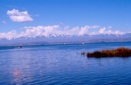
- It is the highest navigable body of water at 3,821 (12,507 feet) meters
- It covers 8,300 square km, sunning 190 km NW to SE & is 80 km across
- It lies in a 60,000 square km basin between the coastal & eastern Andes
- The average depth is over 100 m with deepest point at 281 m
- 25 rivers, mostly from Peru, flow into the lake and a small outlet leaves the lake at Desaguadero on the Bolivia-Peru border, which is only 5% of the inflow with the rest lost in evaporation.
- The lake is the remnant of a vast area of water formed in the Ice Age known as Lake Bolivian
- The traditional totora-reed boats take 3 days to build and last 7-8 months while wooden boats take longer to build but last 7-8 years
- If someone falls into the lake, like a fisherman, it is traditional not to rescue them but to let them drown as an offering to the Earth Goddess Pachamama.