

Destinations
Experiences
 |
L A
D A T C O T O U R
S |
 |
||||||||
| HOME | South America | Falkland Islands | Antarctica | Unique Destinations |
Unique Experiences |
Newsstand | ||||
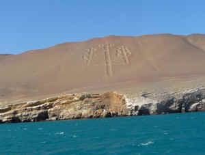 Candelabra |
Paracas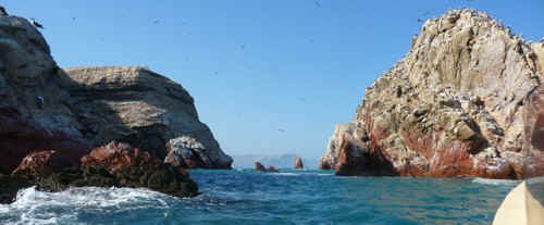 Ballestas Islands |
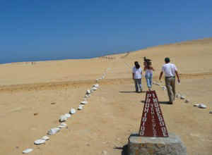 Paracas National Reserve |
 |
 |
 |
 |
ABOUT PARACAS - compliments of PromPeru:
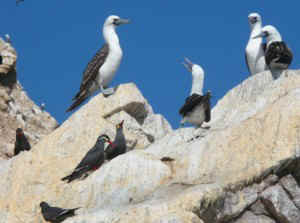
The desert and the sea come together in spectacular fashion in Paracas, in the department of Ica, just a few hours south from the city of Lima. The cliffs that fringe the beaches are teeming with life: millions of birds that live here year-round, and thousands of others that fly from the Northern Hemisphere and from further south, ranging from guano birds to Humboldt penguins.
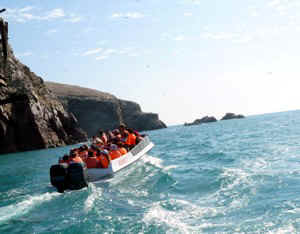
Boats set out from the port to tour the Ballestas Islands, giving visitors a chance to gaze at the sea lion colonies. By car, one can reach the port of Punta Pejerrey, from where one can look out across the hillside at the candlestick-like figure of the Candelabra, carved into the sand with a similar technique to the Nazca Lines, although possibly of a different origin: theories range from pirates marking a treasure hiding place to soldiers fighting for Latin American independence from Spain.
Back on the traditional circuit, the road leads to the on-site museum and the ruins of the burial grounds of the Paracas culture (700 BC), whose weaving skills have been admired the world over. A trail leads down to a protected bay, the natural habitat of flamingoes, the scarlet-and-white birds that inspired the colors of the Peruvian flag. They are not to be disturbed. Further south lie the striking natural rock formations of the Cathedral and Mendieta. At sunset, the Paracas coast spins through a range of colors, the signal for nostalgic visitors to return to the city.
PARACAS NATIONAL RESERVE:
250 km / 155 miles south of Lima (3 hours by car)
The reserve’s 335.000 hectares is a refuge for fur seals, Humboldt penguins, flamingos (parihuanas), and many other birds. You can visit many different natural and archeological attractions in the reserve. One of them is the El Candelabro (The Candelabra), a geoglyph of more than 120 meters / 394 feet long, better appreciated from the ocean.TAMBO COLORADO AERCHAEOLOGICAL SITE:
Kilometer marker 45 of the Libertadores Highway
It is a very well preserved Inca urban center, possibly built during the time of the Inca Pachacutec as a lodge for soldiers and high-level authorities.